Hartley Gardens Supplementary Planning Document
1.1. This Supplementary Planning Document (SPD) has been prepared for Hartley Gardens (the Site): a sustainable urban extension for Clacton-on-Sea.
1.2. The Tendring District Local Plan Section 2 (January 2022) (LPS2), aims to deliver Policy SAMU2 (Development at Hartley Gardens, Clacton), as a high-quality built and natural environment. This allocation will respect the built and landscape character and context of the local area while promoting sustainable development. The Site allocation includes approximately 1,700 new homes, up to 7 hectares of employment land, 2.1 hectares for a new two-form entry primary school with a co-located 56-place early years and childcare facility, and 0.13 hectares for a second 56-place standalone early years and childcare nursery. This LPS2 allocation is known as Hartley Gardens (the Site).
Purpose of the SPD
1.3. The National Planning Policy Framework (NPPF) defines SPDs as 'Documents which add further detail to the policies in the Development Plan.' SPDs can be used to provide further guidance for development on specific sites, or on particular issues, such as design. SPD's are capable of being a material consideration in planning decisions but are not part of the Development Plan. The development of the Site will follow a phased and comprehensively masterplanned approach as promoted in the Local Plan and as set out in this SPD, prepared by Tendring District Council (TDC) in collaboration with Essex County Council (ECC). The policy framework for the Site will also include an agreed Spatial Framework and a Site-specific Hartley Gardens Infrastructure Delivery Plan (HGIDP) to provide further detail to this SPD.
1.4. The purpose of this SPD is to:
- Ensure that the development of the Site supports and delivers the overarching policy objectives set out in Policy SAMU2 (Hartley Gardens) of LPS2.
- Ensure a comprehensively and co-ordinated masterplanned approach to development, incorporating and delivering a robust green and blue infrastructure framework that enhances environmental sustainability and biodiversity.
- Inform the geographical extent and boundary of the allocation, ensuring a defensible and sensitive boundary to the open countryside beyond.
- Provide the means to inform, assess, and determine planning applications and secure comprehensive, co-ordinated, and integrated sustainable development.
- Facilitate and support the co-ordination and timely delivery of the green, social, and physical infrastructure necessary to make the development acceptable in planning terms and to facilitate growth in this location.
1.5. These requirements aim to ensure the comprehensive and co-ordinated development of the Site and to ensure the Development Principles detailed in Section 5 are addressed. To ensure all the necessary infrastructure is funded and delivered in the right place and at the right time, an Infrastructure Schedule is set out in Appendix 1 of the HGIDP.
1.6. The SPD builds upon and provides more detailed guidance on policies in LPS2. Any planning application should demonstrate compliance with planning policy of the Development Plan and the key principles set out within this SPD and Spatial Framework.
How this SPD has been prepared
Strategic Environmental Assessment requirements
1.7. The National Planning Practice Guidance1 advises that SPDs only require a strategic environmental assessment (SEA) or sustainability appraisal (SA) in exceptional circumstances where it is felt the proposal may have a likely significant effect on the environment that has not been assessed within the SEA/SA of the Local Plan.
1.8. A screening opinion confirmed that a Strategic Environmental Assessment (SEA) is not required for this SPD as it does not give rise to any new effects that have not already been considered under the Local Plan. This screening opinion is provided as part of the evidence base to this SPD.
1.9. At the Site level, the required assessments such as the Environmental Impact Assessment (EIA) and Habitats Regulation Assessment (HRA) will still need to be provided along with the relevant studies and reports to support any relevant/in-scope planning application for bringing forward development of the Site. Purpose of the SPD How this SPD has been prepared 1 Paragraph: 008 Reference ID: 61-008-20190315 Planning Practice Guidance Hartley Gardens Draft Supplementary Planning Document
Community engagement
1.10. TDC will work with relevant landowners, developers, and other partners, in consultation with the local community, to ensure that the development is delivered in a phased, coordinated and comprehensive manner to ensure the supporting economic, social, and environmental benefits are delivered to the community and the wider district.
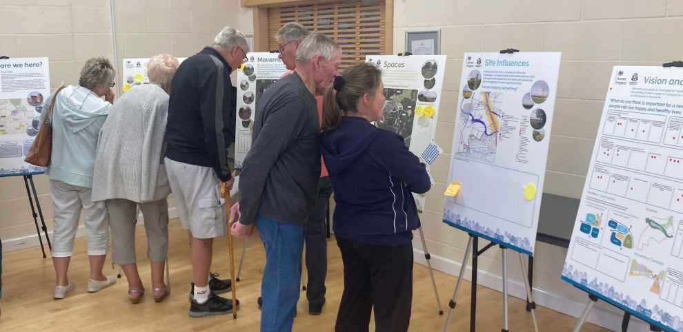
1.11. TDC's Statement of Community Involvement (SCI) outlines how it engages the community when preparing plans, policy documents, and planning application decisions. TDC will undertake formal public consultation on the SPD. Consultation will be undertaken and comments from residents and stakeholders will be considered in the preparation of the SPD, with a report of the consultation feedback prepared and published on TDC's website alongside the adopted SPD.
1.12. The SPD development process includes three stages of engagement:
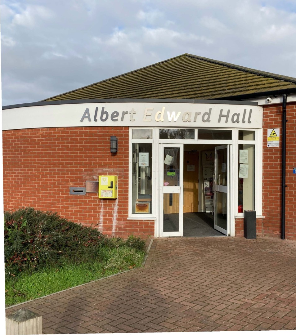
- Stage 1: Evidence Gathering and setting priorities for the Vision and Spatial Framework
- Stage 2: Public Participation on Draft SPD
- Stage 3: Monitoring and Review Following Adoption of SPD
1.13. Initial feedback from the Stage 1 engagement informed the development of the vision and objectives contained within this SPD. Further discussions with stakeholders ensured they were refined and aligned with the community's insights, leading to a vision and set of objectives that accurately reflect the collective desires and priorities of the local community.
1.14. The SPD aims to balance the aspirations and objectives of the local community, with acknowledged best practice principles for the design and development of sustainable high-quality new neighbourhoods.
SPD Structure
1.15. The SPD covers the following:
- Introduction (Section 1): Explains the role and status of the SPD. Introduces the Site and its context and summarises the planning policy context and how the SPD relates to the Development Plan.
- Site Context and Assessment (Section 2): Assesses the Site and its context, provides an overview of constraints, and presents key opportunities in developing the Site.
- Vision and Objectives (Section 3): Sets out the Vision and Objectives for the Site, providing a comprehensive and strategic framework for its future development and growth.
- Spatial Framework (Section 4): Presents the Spatial Framework; identifying land use, design, environmental, infrastructure requirements for the Site to achieve the Vision and Objectives.
- Development Principles (Section 5): Sets out the principles for an inclusive, highly sustainable urban extension as well as providing the key design principles to support the Vision and Objectives outlined in Section 3. The design methodology includes urban design best practice and good guidance.
- Infrastructure Delivery (Section 6): Sets out the requirements around the delivery of infrastructure to ensure a comprehensive approach; to support the sustainable urban extension at the Site and expectations around ongoing management and stewardship.
- Next Steps to Delivery (Section 7): Provides an overview of how the Site will come forward through the planning system.
The Site and its context
Wider context and Site location
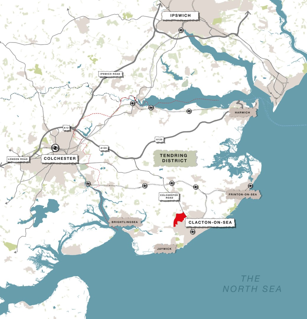
1.16. The Site is situated 2.7km in-land from the seafront and the town centre, on the northern boundary of Clacton-on-Sea (to the north of St Johns Road and to the west of the A133). Most areas of the Site are within a 20-minute walk of the town centre.
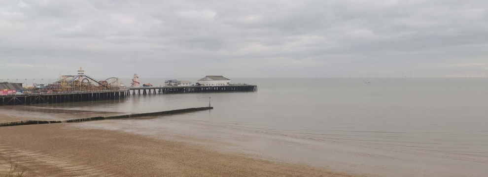
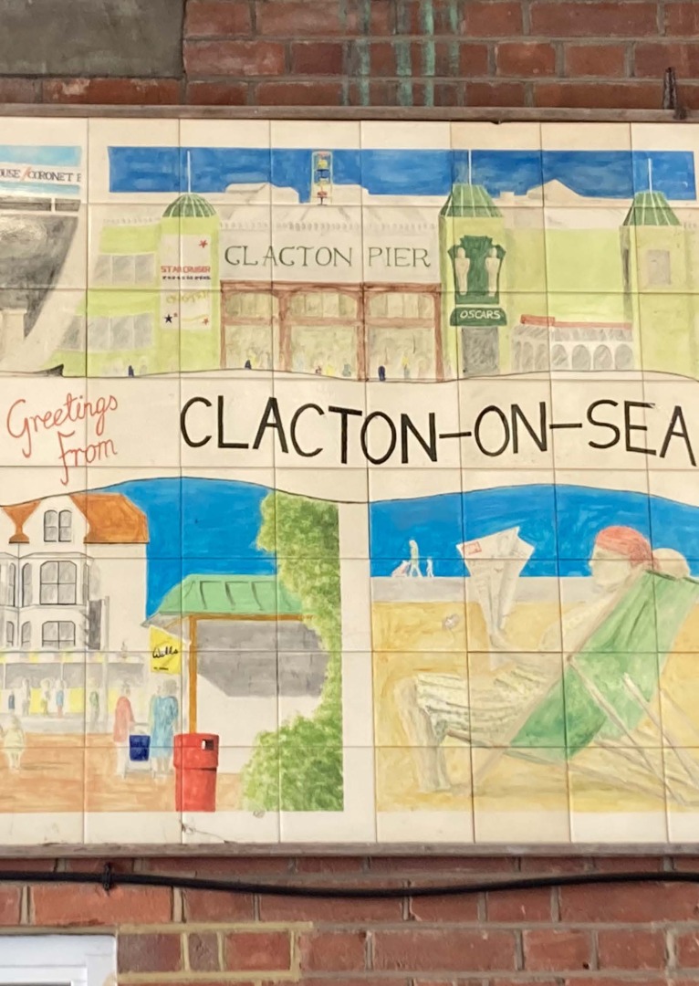
1.17. Clacton-on-Sea is the largest town in Tendring, with a population of approximately 53,000 people, representing one of the most significant communities within the district. It is a bustling, affordable seaside town and resort, with the seafront area being the principal tourist attraction. Key features are the seafront, beaches, and marine gardens, the pier, arcades, the Princes and the Westcliff Theatres, a golf course, and several Victorian and seaside buildings. The main shopping area contains many of the more familiar national chains, independent stores, as well as a variety of pubs, restaurants, and cafés.
1.18. Clacton-on-Sea has experienced some challenges since the height of the tourism boom in the 1960s and several vision/strategy documents have been prepared to address these, including 'Celebrate-on-Sea: Putting the fun back into Clacton' (2010) and 'Love Clacton'. The Site can play a contributing role Figure 1.3 Wider Context plan Figure 1.2 Clacton-on-Sea seafront The Site and its context in supporting a positive vision for the future of Clacton-on-Sea as somewhere that residents are proud of and that is a well-loved, yearround destination for visitors.
1.19. A renaissance of the seafront has been underway in the form of a coastal defence project from Clacton-on-Sea Pier to Holland Haven. This coastal protection scheme has provided 23 new beaches along the 5km coastal stretch. Clacton-on-Sea is an easily accessible town with convenient links by road, train, bus, and nearby connections for travel by sea and air. The centre of London is just over an hour away by car, bus, and train. Tendring District lies on the eastern boundary of the City of Colchester within Essex.
Site overview
1.20. The Site is allocated for a mixed-used development in LPS2. Except for the Tendring Colchester Borders Garden Community proposed for 7,500 new homes (roughly 19km from Clacton-on-Sea), which is a shared allocation with Colchester City Council, the Site is the largest allocation within the administrative area of TDC.

Site features and influences
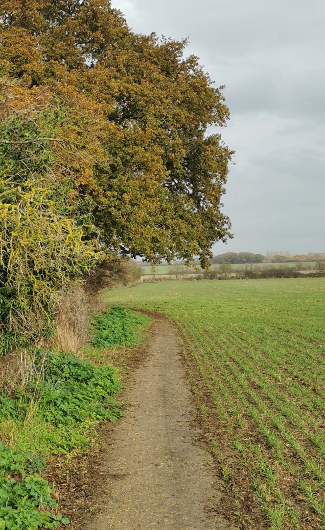
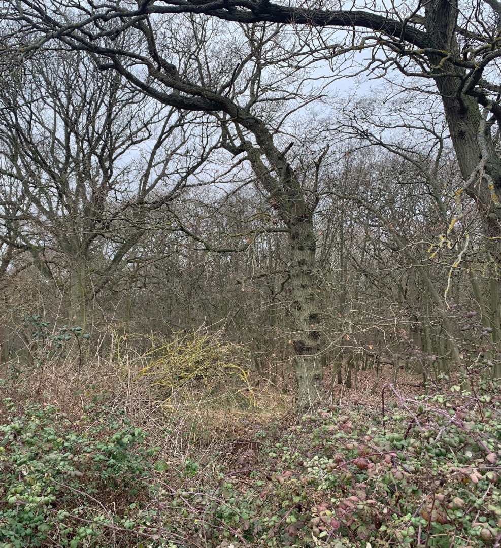
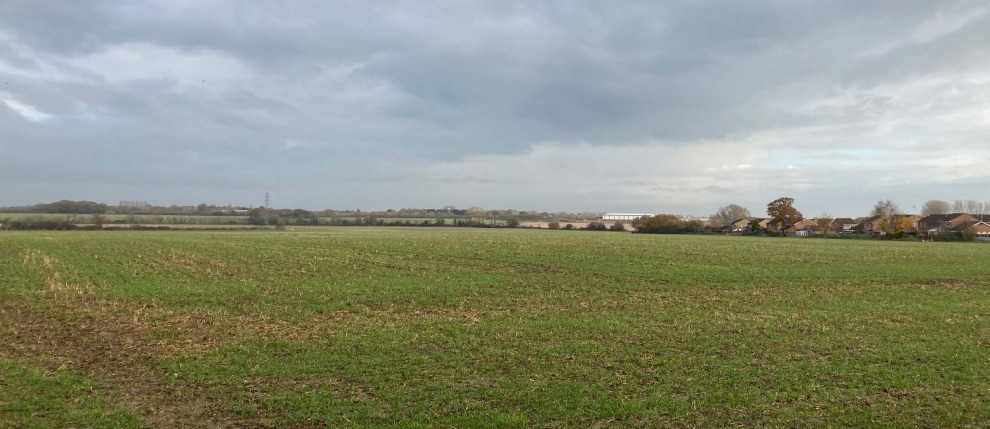
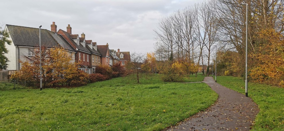
1.21. The Site is currently used as arable farmland. It features gently sloping or flat arable fields, with open landscape, grasslands, hedgerows, and occasional trees. As a result, you get a sense of a very expansive sky. There is a network of brooks and land drains including Pickers Ditch, which runs through the Site and has been enhanced as a green infrastructure corridor through the Brook Park West development. The development of the Site offers an opportunity to both expand and integrate this green corridor along with a number of existing footpaths and public rights of way (PRoWs) which run through the Site. The Site also has several small woodlands, including Long Grove and T Grove.
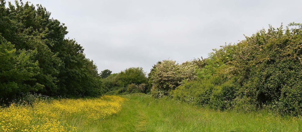
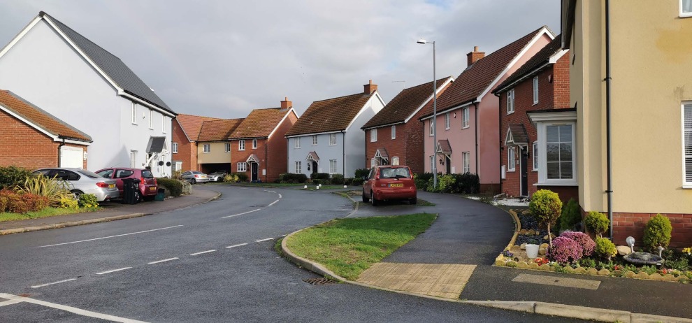
1.22. Surrounding the Site are several neighbourhoods and amenities, including Meadowview Caravan Park, Little Clacton, Brook Park West, Brook Retail Park, Bocking's Elm, and a small neighbourhood centre on Legerton Drive. There are some open spaces in Bocking's Elm, including one off Woodrows Lane with a pedestrian route leading north towards the Site. There is ancient woodland (Hartley Wood) to the west, a Grade II listed building (Bovill's Hall) to the north, Brook Country Park to the east, and the PROW that intersects the southern part of the Site with views across the countryside to the north and west. Also to the west of the Site is Earls Hall Wind Farm that contains five wind turbines, the closest of which is within 250m of the SPD allocation western boundary.
1.23. The Site is well related to the existing local highway network abutting St John's Road, Little Clacton Road, St Osyth Road, and the A133. The A133 forms the eastern boundary of the Site. Little Clacton Road runs through the Site, connecting St Johns Road in the south to the A133 in the north-east. Due to its location on the north-western edge of Clacton-on-Sea the Site benefits from proximity to a range of facilities, employment opportunities, and existing infrastructure.
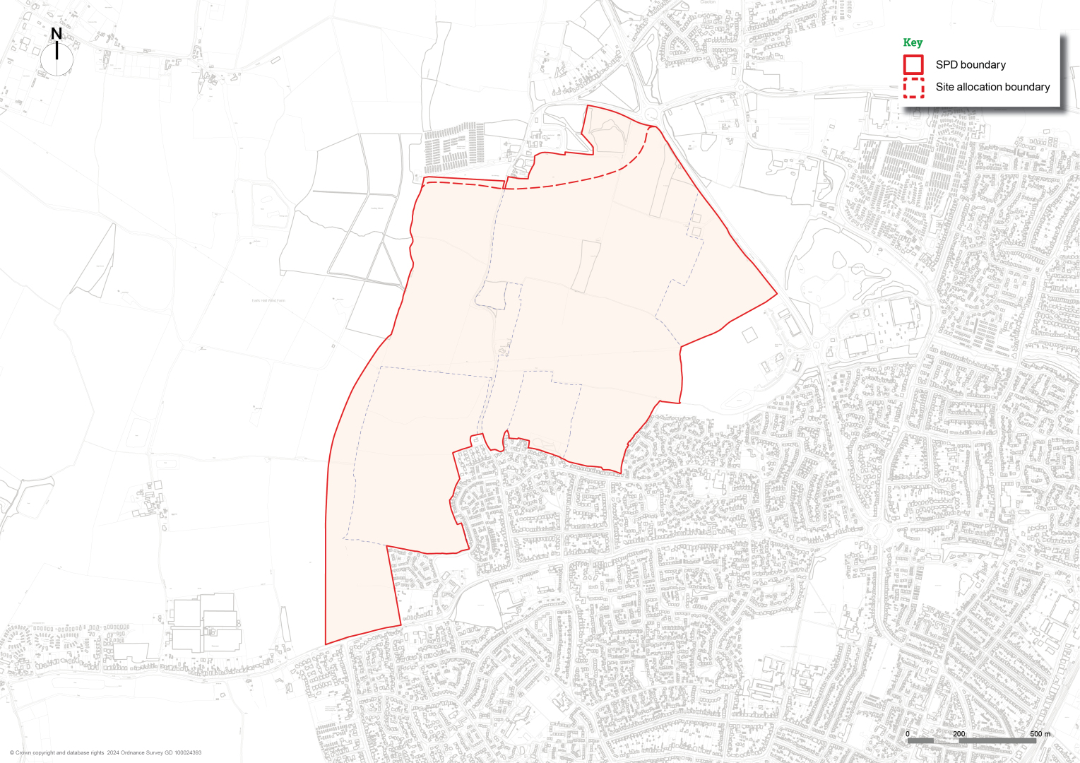
1.24. The SPD boundary includes limited land to the north-east of the Site allocation boundary. This additional land is required and necessary for access to the A133/Progress Road/St Osyth Road roundabout and can also provide additional open green space. This wider boundary is referred to as the SPD Boundary in this document. This additional land is included to better enable the Spatial Framework to deal with the Allocation Site's integration with its surroundings and the wider countryside and ensure a defensible and sensitive boundary to the open countryside beyond, as required in Policy SAMU2. It also better reflects current ownership boundaries. Other than part of the link road, no other built form is proposed on this additional land, it is identified as 'open green space' in the Spatial Framework and contributing to the 'Green Buffer' on indicative landscape drawings in this SPD.
Planning policy context
1.25. Government places significant priority on much needed new homes.
National Planning Policy Framework
1.26. The National Planning Policy Framework (NPPF) sets out the Government's planning policies for England and how these should be applied.
1.27. The NPPF defines SPDs as documents which add further detail to the policies in the Development Plan as set out in para 1.3.
Local Plan
1.28. Tendring District Local Plan 2013 – 2033 & Beyond Section 1 (LPS1) – produced in partnership with Braintree and Colchester Councils promotes a sustainable growth strategy for the combined area on strategic matters that are common across the combined housing market area. It was adopted on 26th January 2021.
1.29. Tendring District Local Plan 2013 – 2033 & Beyond Section 2 (LPS2) – identifies the strategic priorities for achieving sustainable development and planning for economic growth in Tendring. It was adopted on 25th January 2022, contains policies specific to TDC, and allocates land for future housing and employment development including the Site.
Site Allocation
1.30. LPS2 Policy SAMU2 – sets out the requirements for the Hartley Gardens allocation which is the second largest proposed area for mixed use development in Tendring.
1.31. The Site is allocated in Policy SAMU2 of LPS2 and represents a significant proportion of the growth and long-term commitment from TDC in meeting the need for new homes which will continue to be built beyond the Local Plan period. The policy provides high level requirements with regards to infrastructure and quality of design, as well as setting out the need for a Site-specific SPD to ensure a comprehensive and co-ordinated approach to development of the Site in accordance with the LPS2 allocation policy. The full text of Policy SAMU2 and a list of other relevant Local Plan policies are set out in Appendix 1.
1.32. LPS2 Policy DI1 requires that all new development be supported by and have good access to all necessary infrastructure.
1.33. LPS2 Policy PP3 requires that any new proposal for the Site will include a new neighbourhood centre, which should include small-scale retail development to serve the day-to-day needs of the neighbourhood.
1.34. The Development Plan in Tendring also comprises the Essex Minerals Local Plan 2014 and the Essex and Southend-on-Sea Waste Local Plan 2017. Development proposals for the Site will also seek to comply with the policies set out in both documents.
1 Paragraph: 008 Reference ID: 61-008-20190315 Planning Practice Guidance